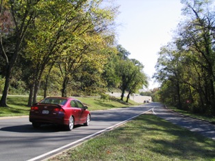
 Clara Barton Parkway, not in Arlington, but across the river in Maryland. I don't seem to have any good photos of the Arlington streetscape. Sounds like a good idea for a future project. If roads could speak. . . . Matt Johnson over at Greater Greater Washington has detailed the logic behind the street names in Arlington County, VA, where I live. It's a system that drives visitors nuts, because many streets are discontiguous. For example, I live on the western segment of Little Falls Road. The eastern segment (where the Knights of Columbus hall is located -- I've given directions many times) starts about a quarter mile away, on the other side of a small shopping center. You'd probably never get from one segment to the other without a map. So that's what we give our kids here when they start driving -- a detailed map book for the glove box. I've lived in Arlington for 20 years, and I still refer to mine at least once a month.
One of the interesting features of our local street grid is that you can clearly pick out the older roads that predate the grid system. That's probably something easy to see almost anywhere, once you peel off the automobile-era layer of the street system. What can you learn about your own local history and environment by looking at those roads?